Defining a Coordinate Reference Systems
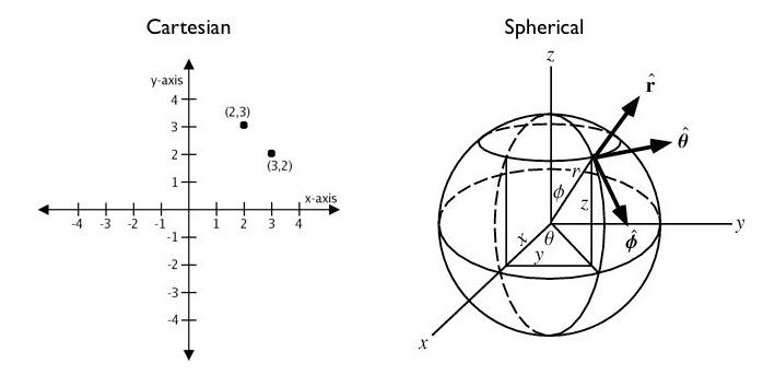
A Coordinate Reference System (CRS) is a coordinate-based system used to locate geographical entities. A CRS can be applied locally, regionally, or globally. A Cartesian grid (think graph paper) is a simple 2D coordinate reference system for referencing locations on the surface of a flat plane. A spherical coordinate system (think latitude/longitude) is a more complex 2D coordinate system for referencing locations on the surface of a sphere.

Why all world maps are wrong
This video gives a quick overview of some of the issues associated with making two dimensional maps of our three dimensional world.