What is GIS?
What is GIS?
The GI stands for Geographic Information. The S can be either Science or System. You will often see them used interchangeably because they are closely related. Basically, you do GIScience with a GISystem.
What is GIScience?
The science and study of geospatial information:
- GIScience is a framework we use to understand spatial information.
- It is rooted in Cartography, the art and science of graphically mapping
- It is inherently multidisciplinary and draws on Computer Science, Mathematics & Statistics, Remote Sensing, and many other fields.
What is a GISystem?
Any system or tool we use to store and analyze geospatial information can broadly be considered a GISystem.
- Until a the late 20th century, atlases and library map catalogues were our most advanced GIS.
- Now we have a wide range of computer and web based GISystems.
- Ranging from the mobile applications to cloud computing systems that can process terabytes of planetary scale data.
What can be done with GIS?
GIS can be used to help solve a wide range of geographic problems in different fields:
- Epidemiology/Public Health
- Planning (Urban, Hazards)
- Conservation & Resource Management
- Economics
- Climate Science
- Ecology/Biology
- Social Justice
Accessing GISystems
Proprietary GIS Software
GIS is rooted in the capitalist enterprise. Consequently many of the initial developments in GIS were by for profit companies.
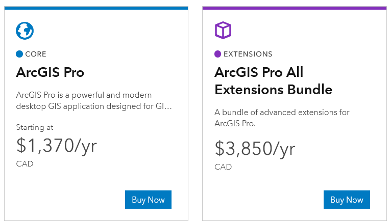
- ESRI is a leading producer of GIS software. They make ArcGIS Pro, one of the most widely used GIS applications.
- Proprietary software requires users to purchase a license.
- Proprietary licenses are often expensive.
- They are a barrier to access for many uses.
- Proprietary licenses are often expensive.
ArcGIS Pro
Open Source GIS Software
Open source software has proliferated in recent years. The the internet has connected like-minded developers and allowed for collaboration across the globe.
- Open Source software is published under an open copyright license making it free to access.
- Includes programming languages such as Python, R, Java applications such as QGIS and InkScape.
- Open source software is more accessible because its free to download and use!
QGIS
Programmatic Approaches
GIS & Coding
There are a number of free programming languages that can be used to do GIS, each having their own advantages. Three commonly used languages include:
- Python: Great general purpose programming language that is easy to read/write with with numerous GIS packages.
- Javascript: The go to language for web-based maps and applications.
- R: A statistical programming language widely used in the sciences.
Python
Arguably the most widely used and flexible option. It has a number of packages that can help us work with geospatial data. A few examples include:
- Geopandas: Works with vector data (points, lines, & polygons) and their tabular attributes.
- Rasterio: Works with raster data (imagery & surfaces) and their tabular attributes.
- Geopy: Used for geocoding, converts street addresses and other text based location data to coordinates (latitude & longitude).