Pre-Historic Maps
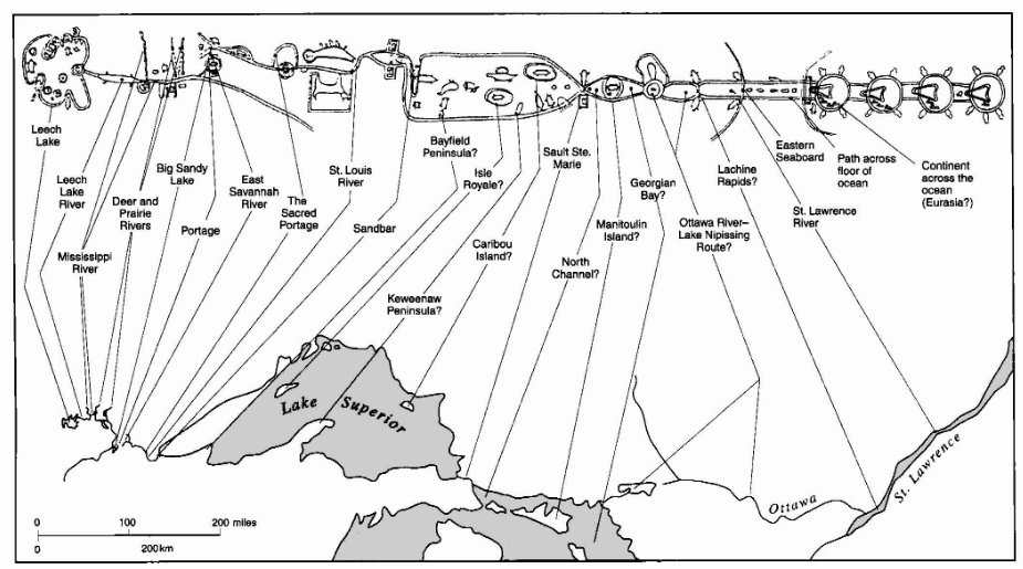
Many are hard to recognize as maps
-Rock art, pottery, carving, and etchings
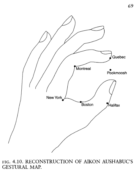
-Movement, gestures, & oral traditions
-Paper and Textile maps appeared later

Few Surviving Examples
Must rely on more modern analogues.
Pre-Historic Maps
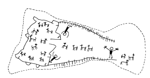
Frequently depicted:
-Landscapes
-Hunting Grounds
-Villages
-Agricultural Plots
Oldest Known Maps
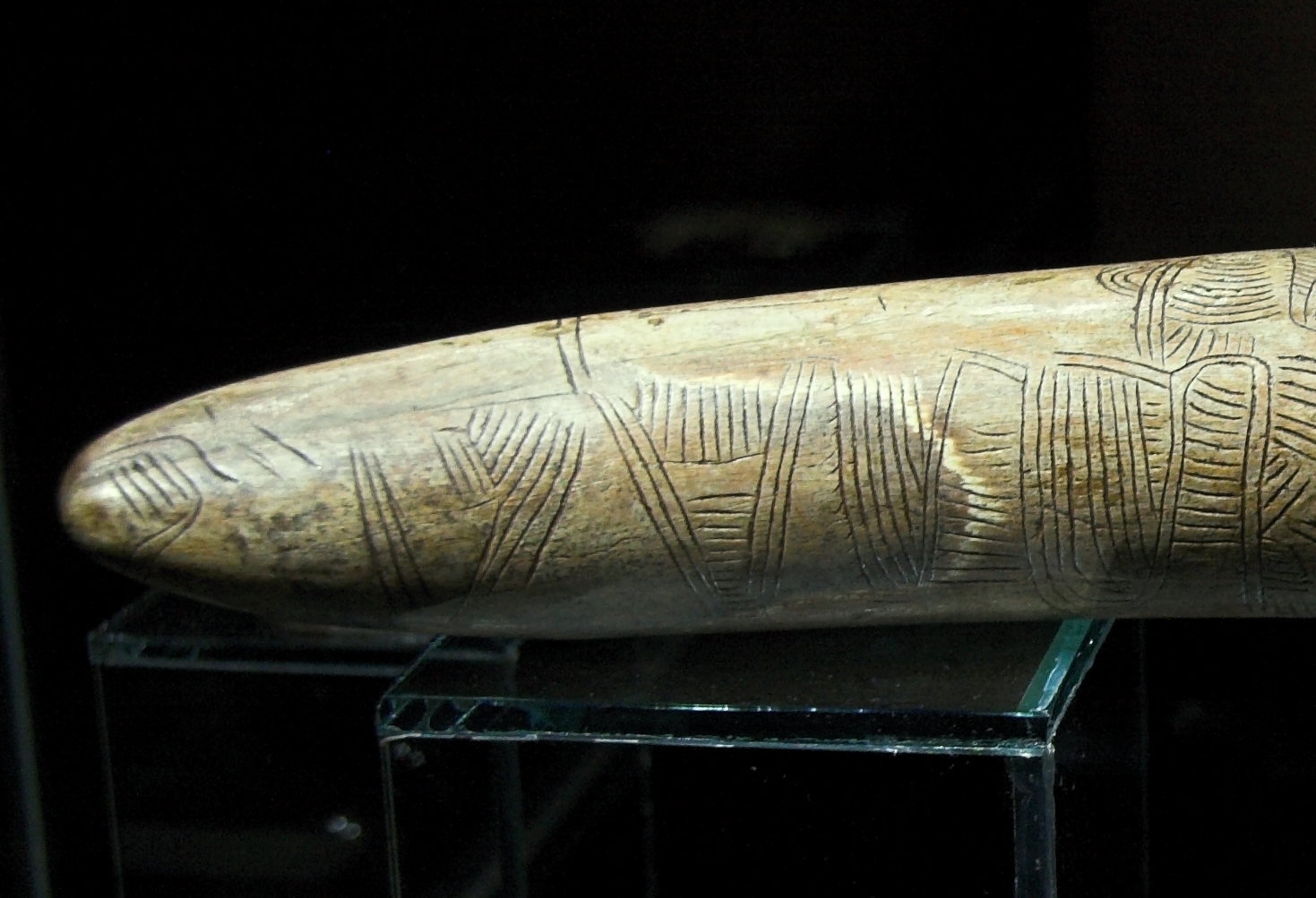
Mammoth Tusk
Oldest known graphic depiction of space. Hunting landscape around the Dyje River Czechia 26,000 B.P.
Oldest Known Maps
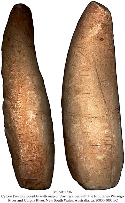
Yurda
Stone engraving of Darling River basin with overland shortcuts. Australia 20,000 B.P.
Oldest Known Maps
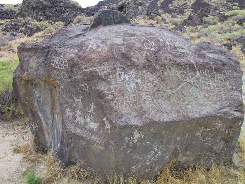
Map Rock
Stone engraving of Snake River Valley Idaho 12,000 B.P.
First "Urban" Plans
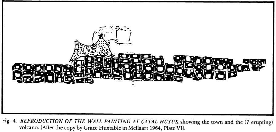
Çatalhöyük a village Turkey, 8700 B.P.
First "Urban" Plans
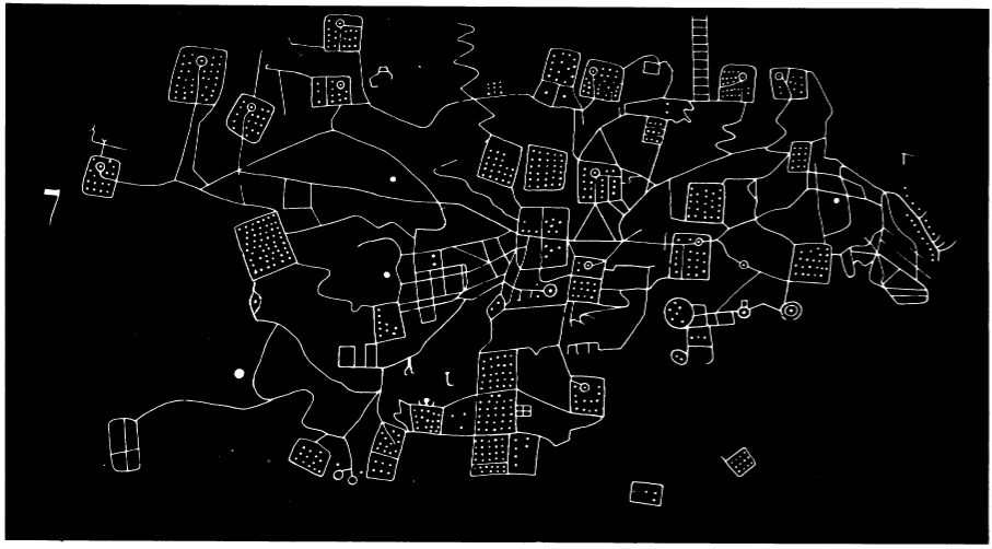
Bedolina Petroglyph, Italy, 4000 B.P.
Paper and Textile Maps
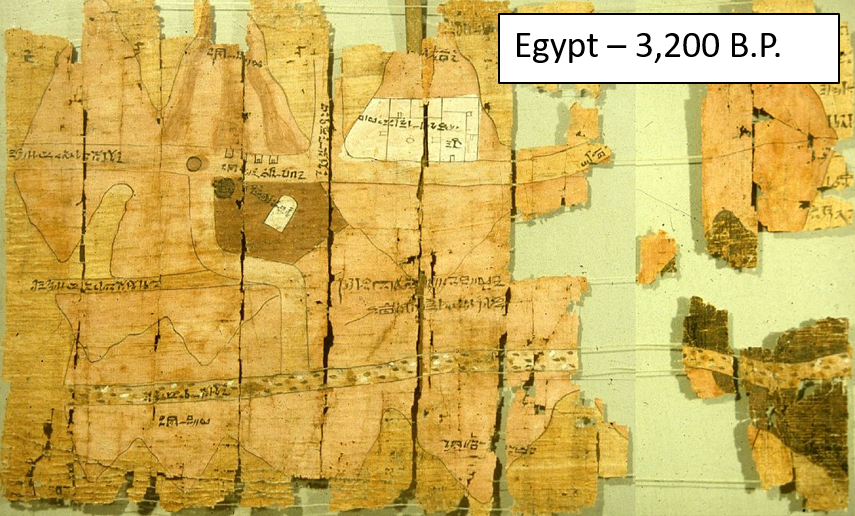
Maps on papyrus paper appeared in Egypt ~3,200 BP.
Paper and Textile Maps
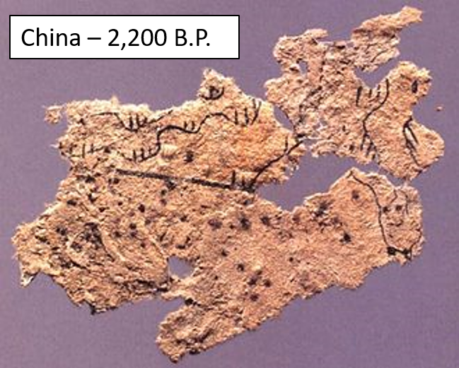
Paper and silk maps appeared in China ~2,200 BP.
Cartography and Navigation
Austronesian expansion from started ~5,000 BP.
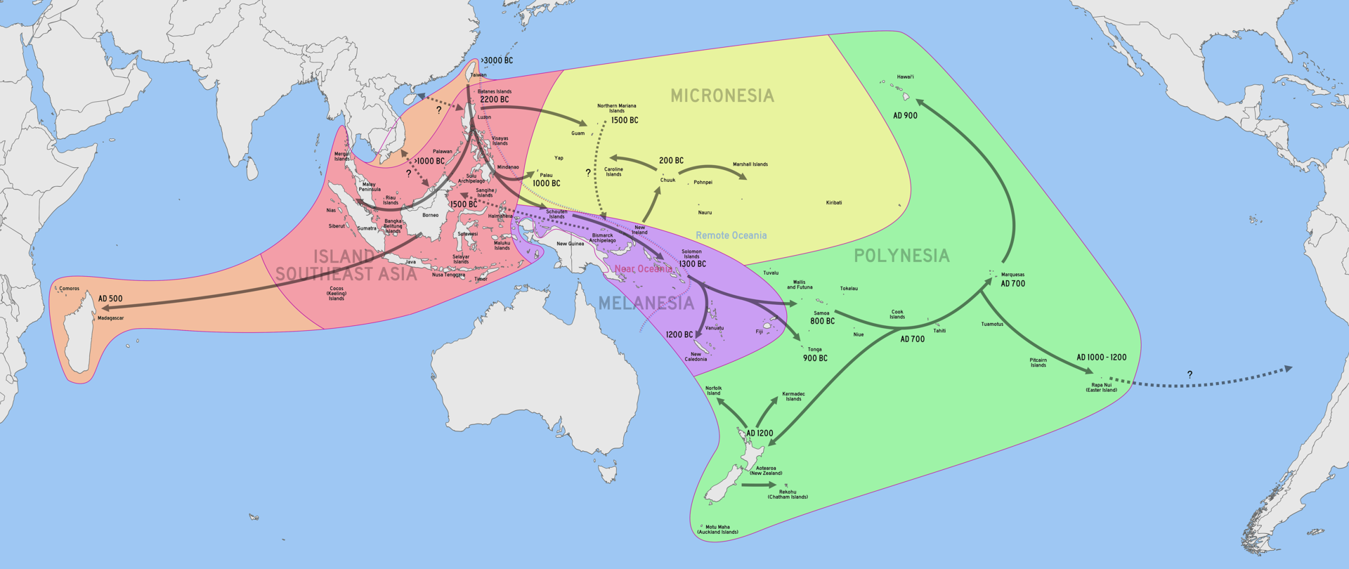
Navigational Charts
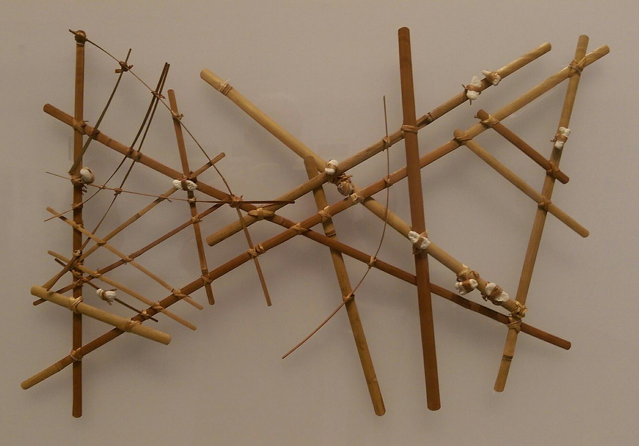
Polynesian navigators spread across the pacific
-Reading stars, waves, weather, and wildlife
-Used charts, songs, and stories to record important details
Advent of Surveying
The earliest survey methods were:
-Limited in scale
-Labor intensive
-Only applicable for small areas
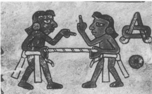
Rope stretching developed in Egypt and Mesoamerica.
Systematic Data Collection
As agricultural societies coalesced and grew methods for the systematic collection of information were developed and the first surveys were conducted.
-Methods were needed to conduct agricultural surveys, construct buildings, and create plan settlements.
-Objects needed to be drawn to scale.
Advent of Surveying
Systematic measuring and recording of angles and distances leads to development of geometry and trigonometry.
-Maps became more accurate buy they were limited to small areas.
Urban Planning
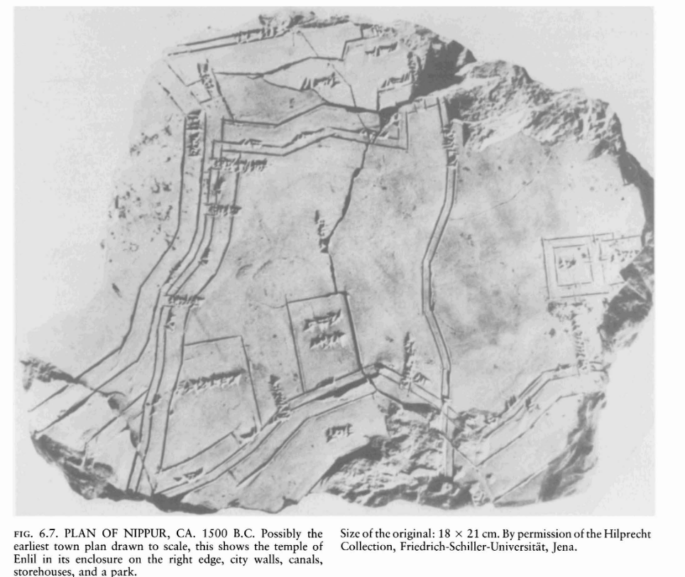
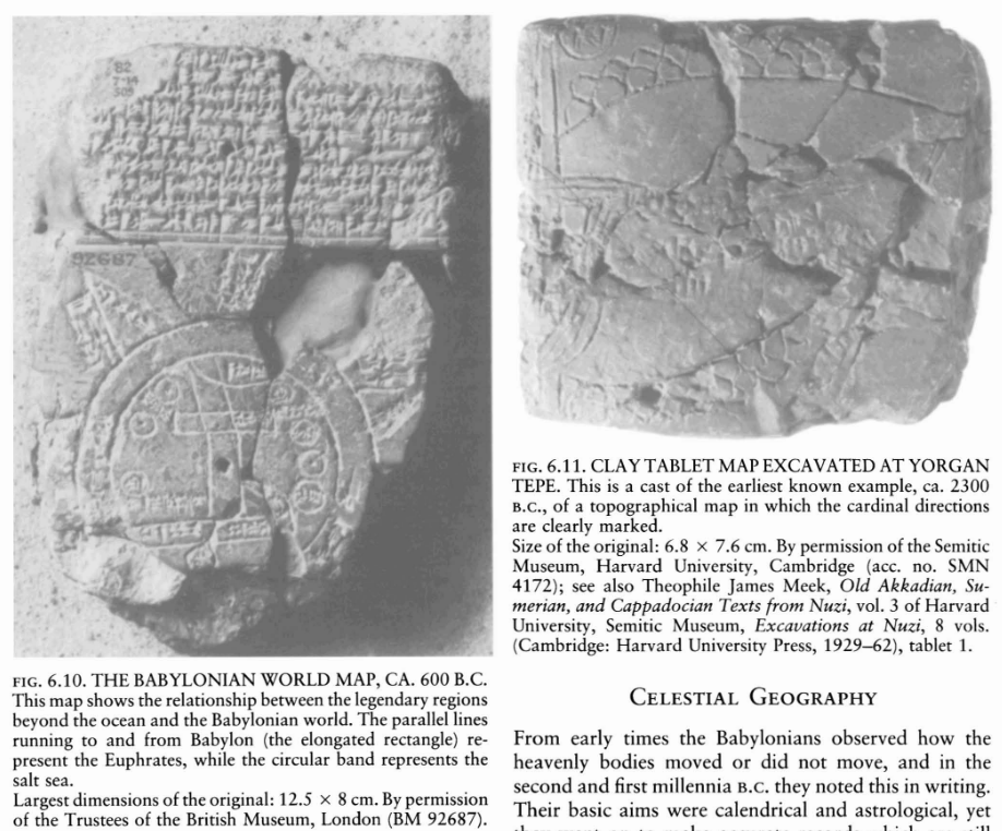
Town plan of Nippur, Babylonia on a clay tablet. Possibly the earliest map drawn to scale 3500 B.P.
Maps could now "accurately" represent: bearings, distances, elevations, & sizes
Line of Sight Methods
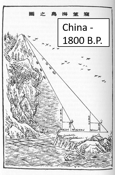
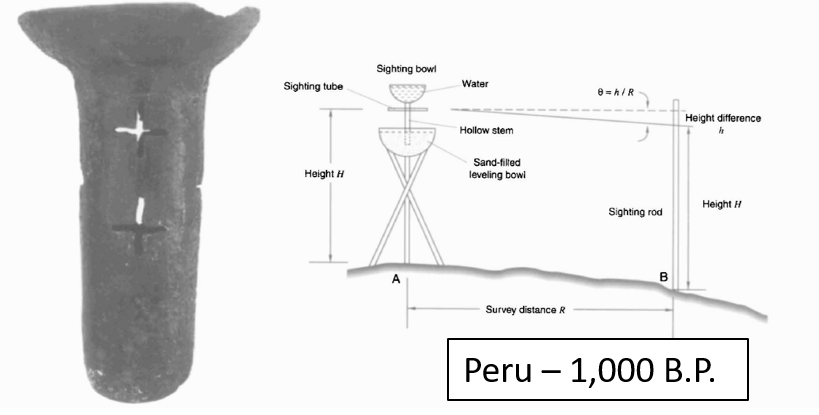
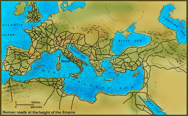
Allowed for surveying over greater distances and mapping larger areas. Road networks could be constructed, distances between settlements could be approximated.
Line of Sight Methods
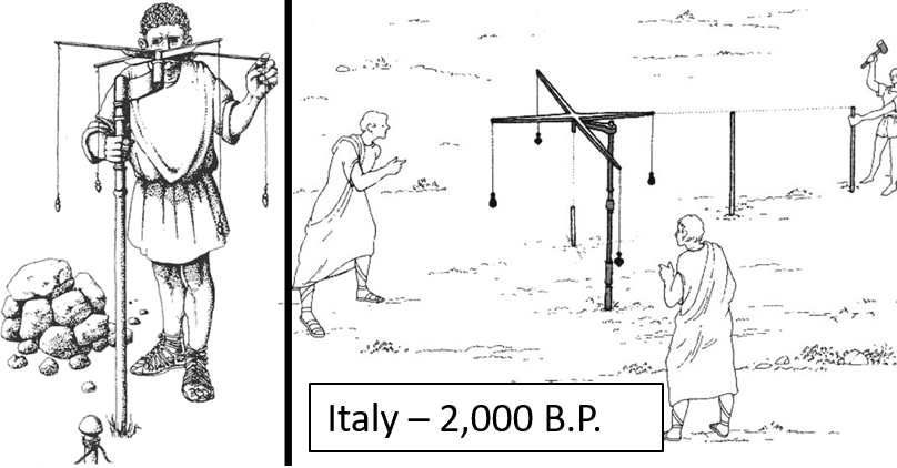
The Gorma
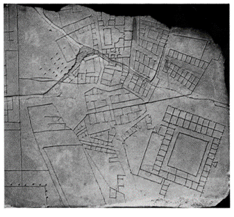
The Roman empire employed professional surveyors. They built a massive road network, created an Agricultural land registry and did "Urban” planning. The gorma is the precursor of the Theodolite
The Gorma
The Compass
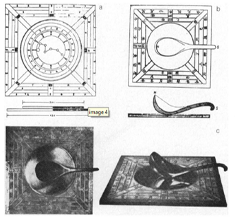
Han Dynasty "south-governor" ~2200 BP.
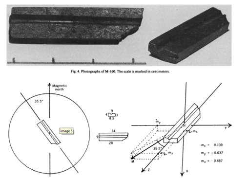
Olmec Lodestone ~3000 BP.
The Compass
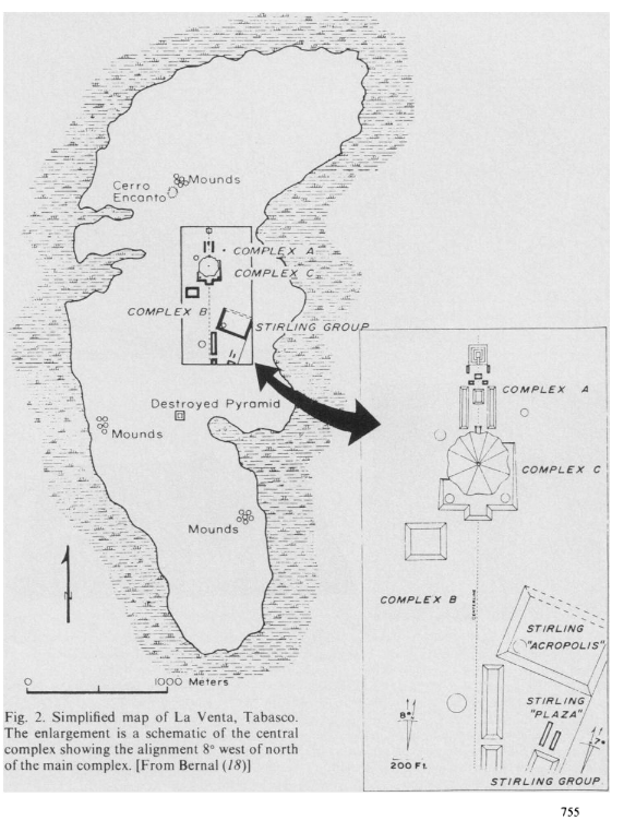
Lodestones are naturally occurring magnetic minerals. They were first used by the Olmec civilization to orient their pyramids and cities.
The Compass
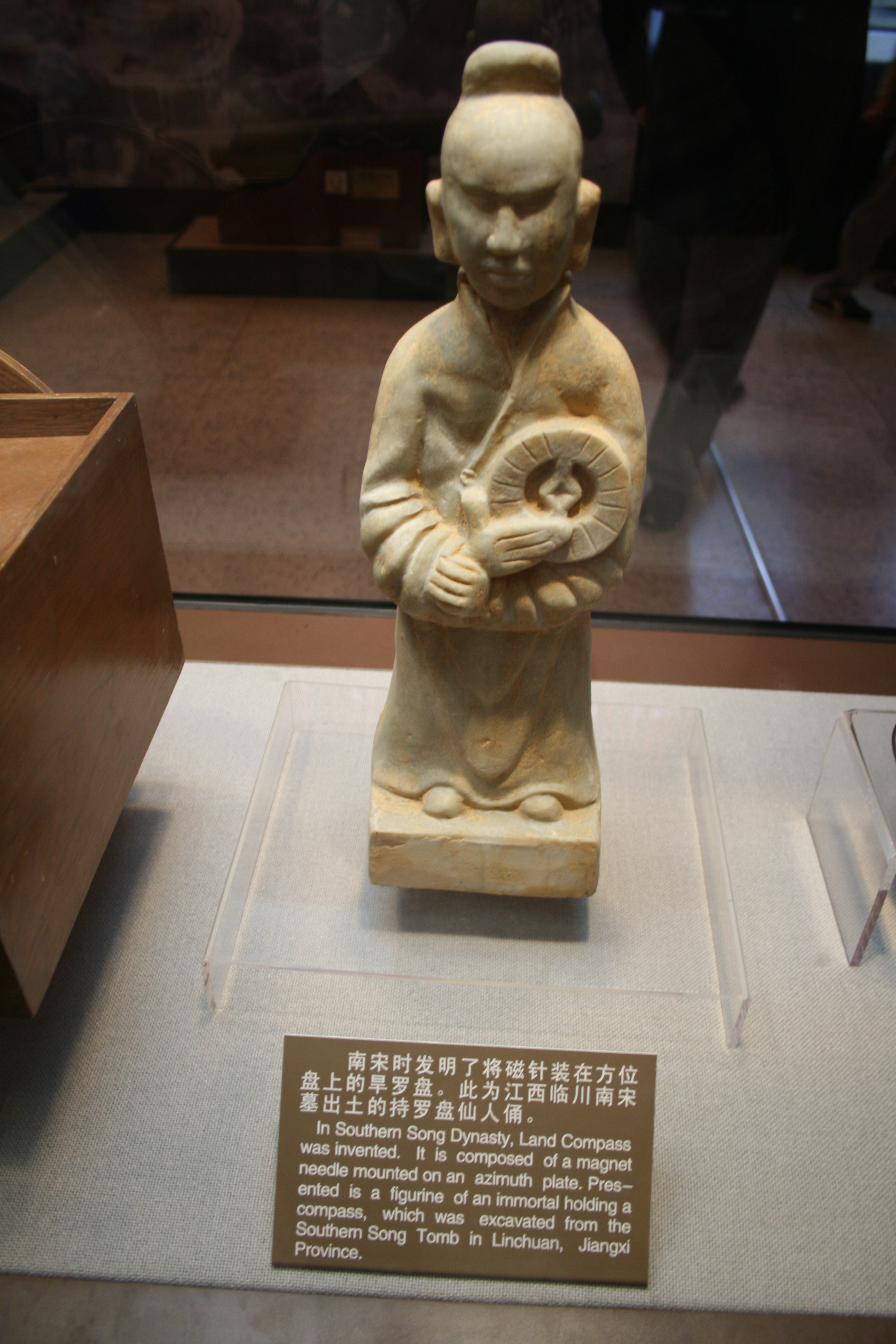
The compass was first used for navigation in China during the Song Dynasty ~ 1000 B.P. It made its way to Europe around 800 B.P. The invention of the compass spurred on the "Age of Exploration"
