Geologic Survey of Canada (GSC)
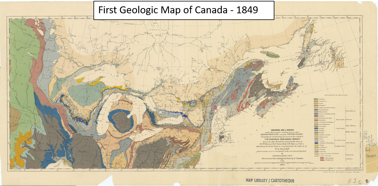
Canada’s first scientific agency, founded in 1842. The GSC mapped resources and promoted expansion.
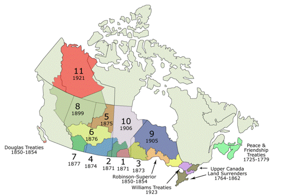
Numbered Treaties
Building on GSC Surveys, the government "negotiated" the numbered treaties. They used GSC maps to identify and "claim" most valuable land.
The RCMP were created to enforce treaties and displace Indigenous people.
Canadian Pacific (CP) Railway
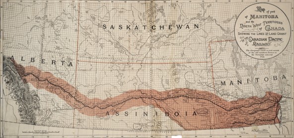
The CP was granted 25 million acres of valuable land and sold it for $2.50/acre to European colonists.
Canada Land Inventory
Mapped suitability of lands for: Agriculture, forestry, recreation and wildlife.
Original maps can be found here
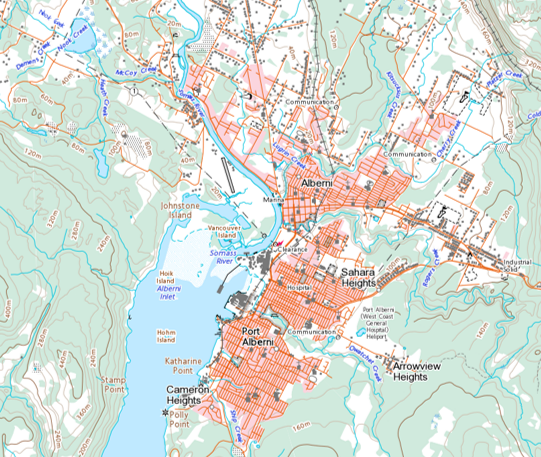
Canada Land Inventory
Led to the creation of the first GIS:
-First digital geographic database
-Advances in spatial analysis

Indigenous Place Names: Countering Colonialism
The lands that comprise Canada have been inhabited for thousands of years and have histories that stretch back well before the colonial era. Many colonial mapping efforts were centered on erasing Indigenous Peoples and their Histories. One way they accomplished this was through the use of place names.
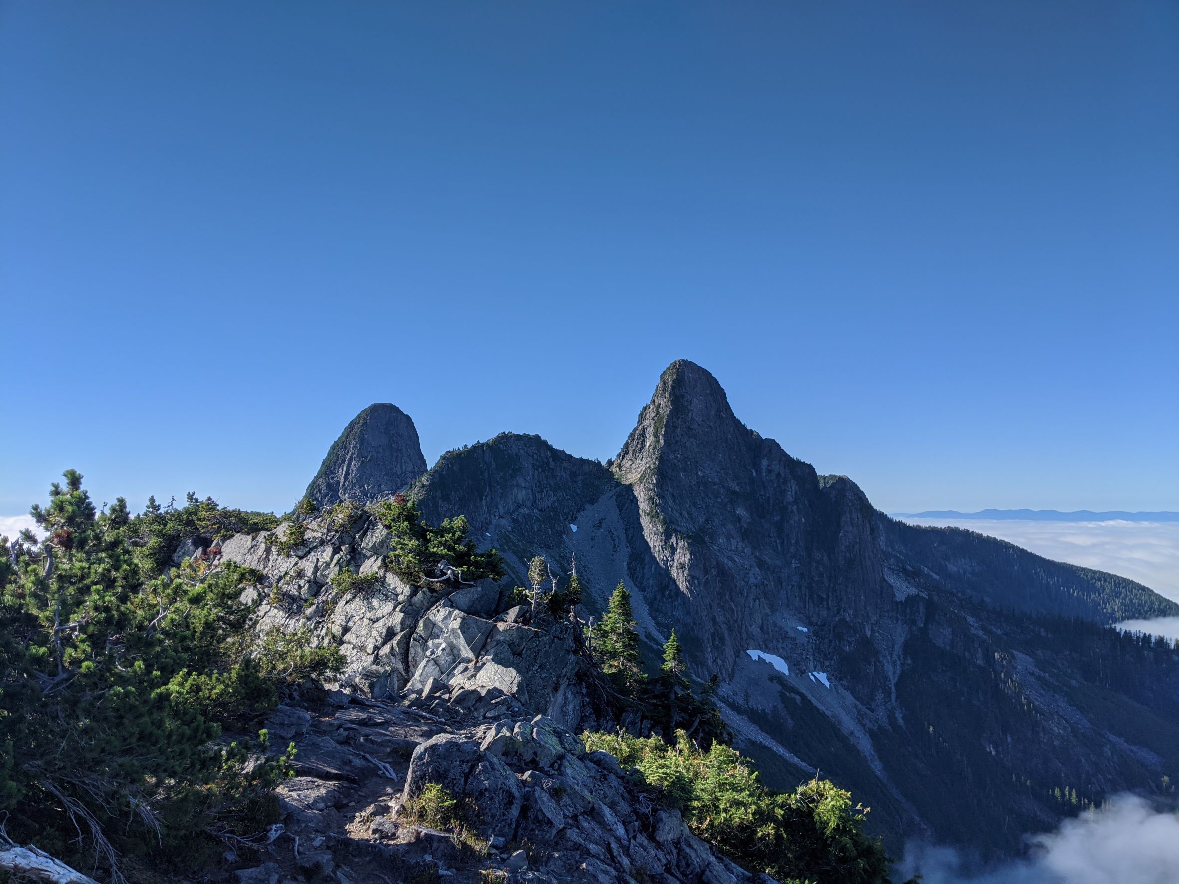
Ch'ich'iyuy is a Skwxwú7mesh word that translates to "Twins".
Learning Place Names
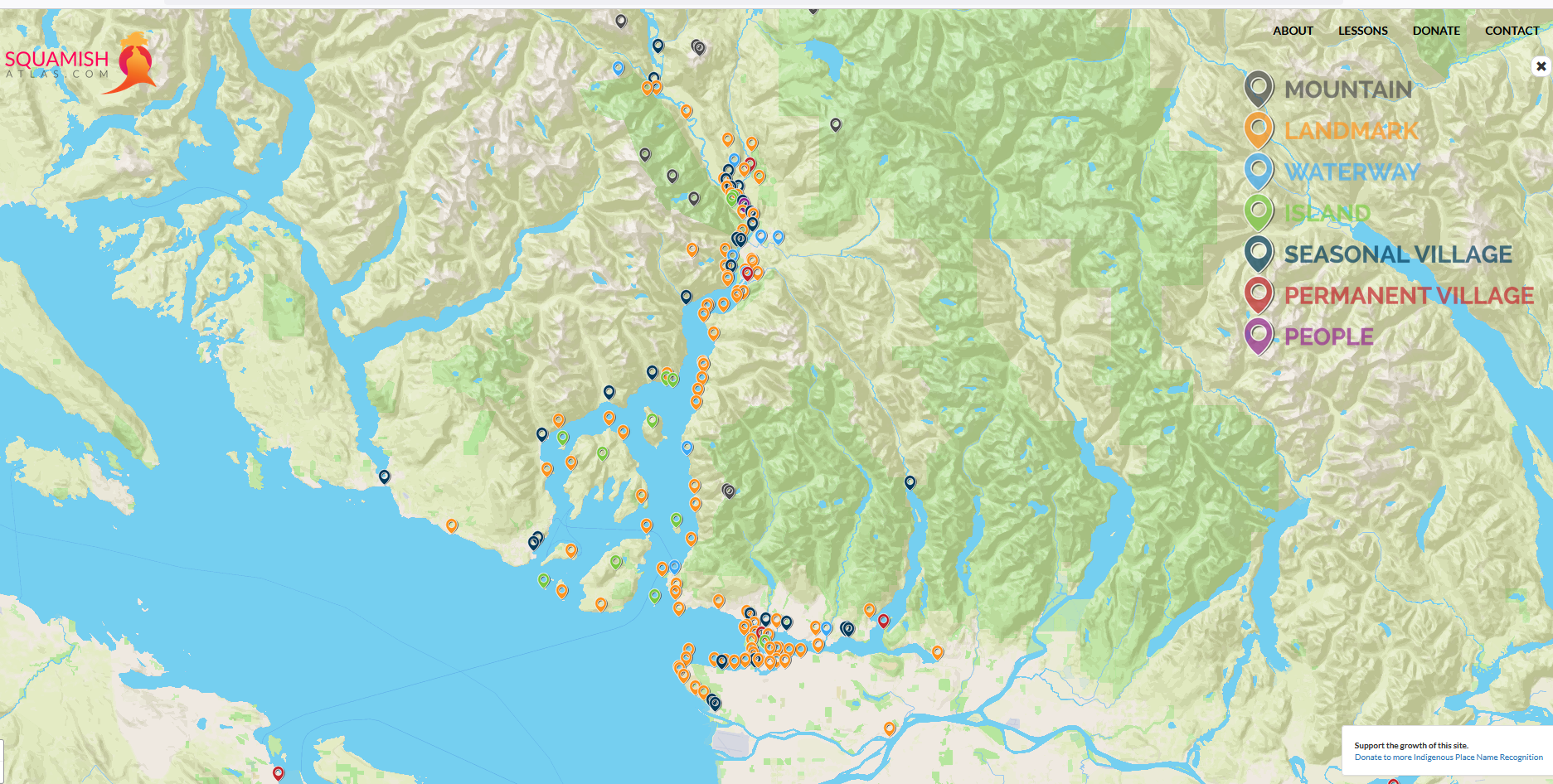
The Skwxwú7mesh Atlas is a great resource for learning about Skwxwú7mesh Place Names.
Learning Place Names
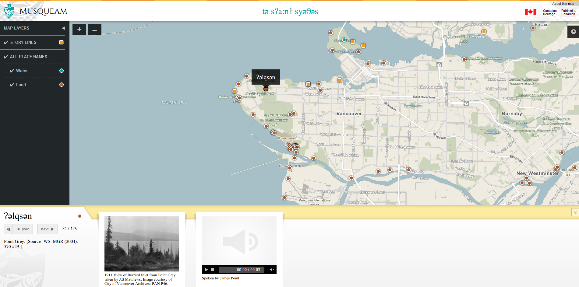
The xʷməθkʷəy̓əm have a great resource for as well!